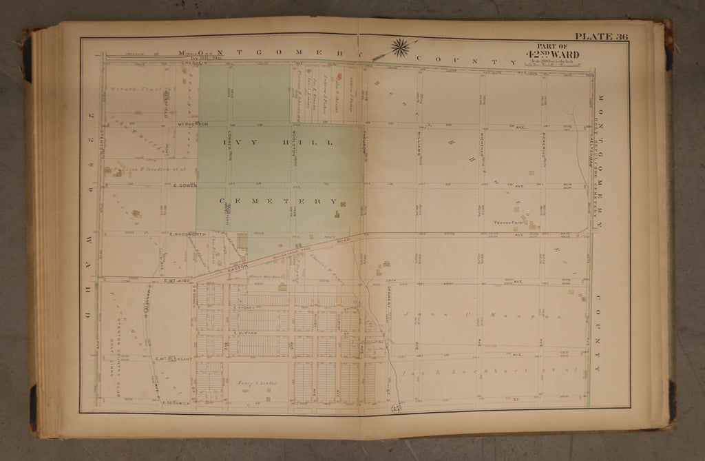
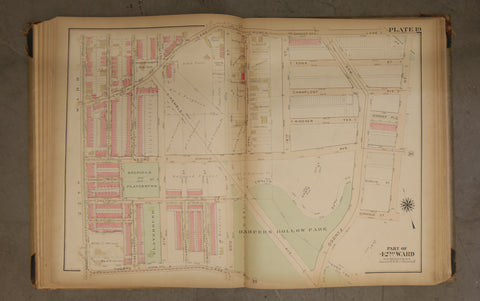
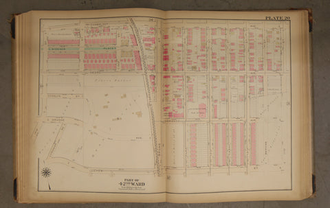
1923 Bromley Atlas - Plate 36 - Cedarbrook: Easton Rd, Ivy Hill Cemetery
$ 45.00
1923 Bromley Atlas - Plate 36 - Cedarbrook: Easton Rd, Ivy Hill Cemetery
Big, beautiful and original! 23 by 33 linen map of the 42nd Ward between Cresheim Avenue (now Ivy Hill Road) and East Sedgwick Street, and Stenton Avenue and Cheltenham Avenue. This map shows Ivy Hill Cemetery and its full extent. It also shows the now-gone Ivy Hill Station and a farm known as "Fairview Farm" which has been lost to history.
Please examine photos closely for condition. Tanning around edges. Chipping at base, some tears.
