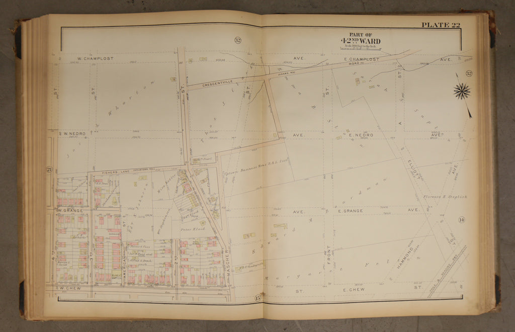
1923 Bromley Atlas - Plate 22 - Olney: Mascher Street, Olney Shopping Center
$ 60.00
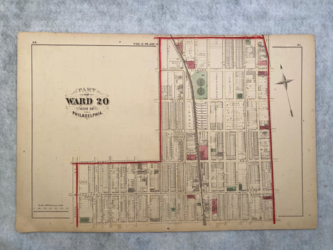
1923 Bromley Atlas - Plate 22 - Olney: Mascher Street, Olney Shopping Center
Big, beautiful and original! 23 by 33 linen map of the 42nd Ward shows the true extent of Philadelphia's expansion in the mid-twentieth century. This map shows the developed community reaching to the edges of Mascher Street and Fishers Lane. It also shows the proposed road system that is not yet in place yet. The rest of the map is occupied by large family estates owned by famous names such as the Whartons. A true glimpse into the past. This area is now well-developed and residential.
Please examine photos closely for condition. Tanning around edges. Some tears.